
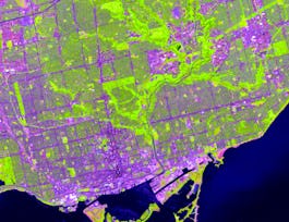
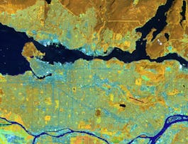
Get started learning about the fascinating and useful world of geographic information systems (GIS)! In this first course of the specialization GIS, Mapping, and Spatial Analysis, you'll learn about what a GIS is, how to get started with the software yourself, how things we find in the real world can be represented on a map, how we record locations using coordinates, and how we can make a two-dimensional map from a three-dimensional Earth. In the course project, you will create your own GIS data by tracing geographic features from a satellite image for a location and theme of your choice. This course will give you a strong foundation in mapping and GIS that will give you the understanding you need to start working with GIS, and to succeed in the other courses in this specialization.


Introduction to GIS Mapping
This course is part of GIS, Mapping, and Spatial Analysis Specialization
Taught in English
Some content may not be translated

Instructor: Don Boyes
Top Instructor
70,683 already enrolled
Included with 
Course
(2,113 reviews)
97%
Details to know

Add to your LinkedIn profile
6 quizzes
Course
(2,113 reviews)
97%
See how employees at top companies are mastering in-demand skills

Build your subject-matter expertise
- Learn new concepts from industry experts
- Gain a foundational understanding of a subject or tool
- Develop job-relevant skills with hands-on projects
- Earn a shareable career certificate


Earn a career certificate
Add this credential to your LinkedIn profile, resume, or CV
Share it on social media and in your performance review

There are 6 modules in this course
What's included
9 videos2 readings2 quizzes1 discussion prompt
What's included
10 videos1 reading1 quiz1 discussion prompt
What's included
10 videos1 quiz
What's included
9 videos1 reading1 quiz
What's included
16 videos1 quiz1 discussion prompt
What's included
1 peer review
Instructor
Offered by


Recommended if you're interested in Environmental Science and Sustainability
University of Toronto
University of Toronto

École Polytechnique Fédérale de Lausanne
University of Toronto
Why people choose Coursera for their career


Learner reviews
Showing 3 of 2113
2,113 reviews
- 5 stars
88.36%
- 4 stars
9.60%
- 3 stars
1.22%
- 2 stars
0.18%
- 1 star
0.61%

Open new doors with Coursera Plus
Unlimited access to 7,000+ world-class courses, hands-on projects, and job-ready certificate programs - all included in your subscription
Advance your career with an online degree
Earn a degree from world-class universities - 100% online
Join over 3,400 global companies that choose Coursera for Business
Upskill your employees to excel in the digital economy
Frequently asked questions
Access to lectures and assignments depends on your type of enrollment. If you take a course in audit mode, you will be able to see most course materials for free. To access graded assignments and to earn a Certificate, you will need to purchase the Certificate experience, during or after your audit. If you don't see the audit option:
The course may not offer an audit option. You can try a Free Trial instead, or apply for Financial Aid.
The course may offer 'Full Course, No Certificate' instead. This option lets you see all course materials, submit required assessments, and get a final grade. This also means that you will not be able to purchase a Certificate experience.
When you enroll in the course, you get access to all of the courses in the Specialization, and you earn a certificate when you complete the work. Your electronic Certificate will be added to your Accomplishments page - from there, you can print your Certificate or add it to your LinkedIn profile. If you only want to read and view the course content, you can audit the course for free.
If you subscribed, you get a 7-day free trial during which you can cancel at no penalty. After that, we don’t give refunds, but you can cancel your subscription at any time. See our full refund policy.